Parts of the UK have already seen some snow today, although most of it has arrived in that classic “is this sleet or is the sky just confused?” way, mixed with rain and not exactly sticking. So the real question is: Are we actually getting any more substantial snow this week?
Short answer: Yes. For once, the warnings aren’t being dramatic.
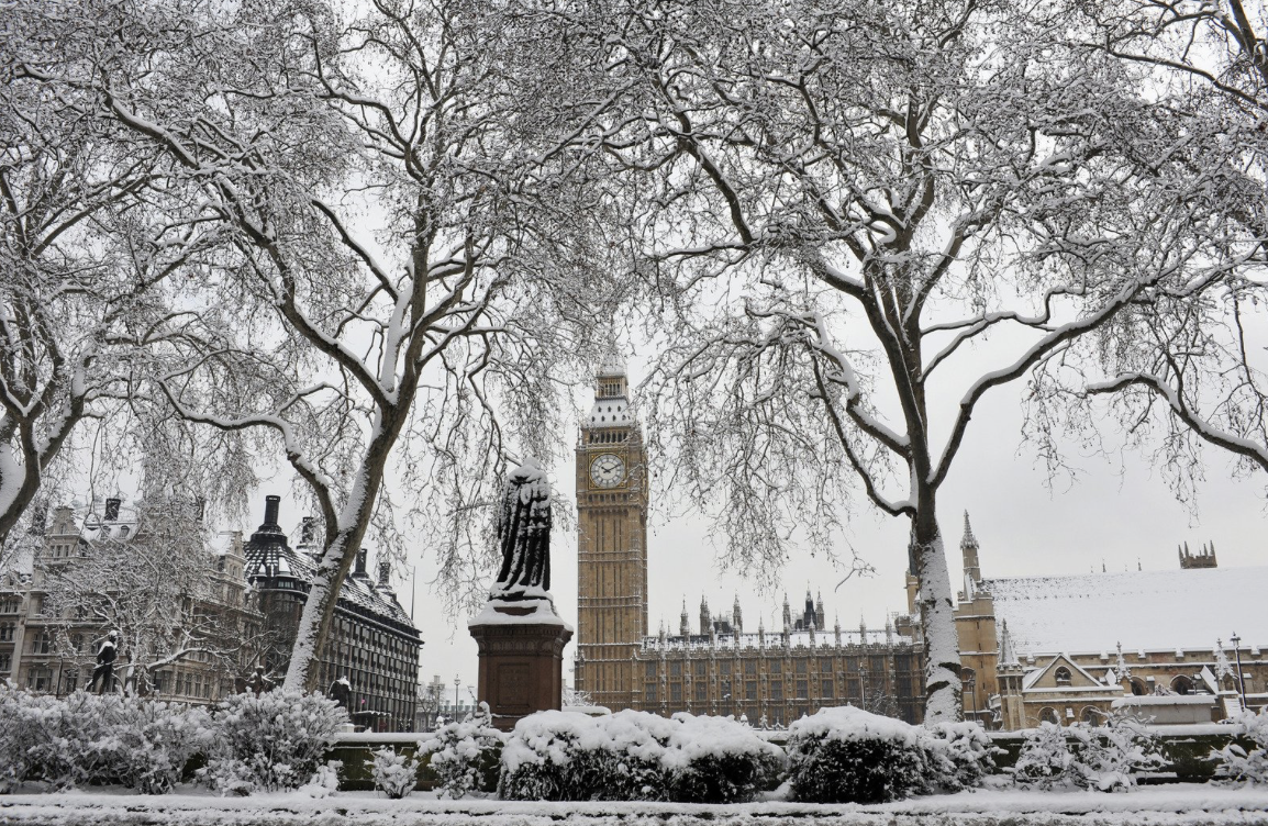
The Met Office has issued an amber weather warning for parts of Yorkshire, with up to 25cm of snow expected this week as temperatures plunge in the first proper cold snap of the season. York and Scarborough are covered by the amber warning from 5am to 9pm on Thursday, with travel disruption and possible power cuts likely.
Elsewhere, multiple yellow warnings for snow and ice are in place across Wednesday and Thursday, covering Northern Ireland, Wales, the southwest, northern England and most of Scotland. Basically, if you live anywhere above the Midlands, it’s going to be cold, icy and potentially very snowy.
Forecasters say the shift is down to Arctic air taking over the UK’s weather, bringing “harsh frost”, frequent wintry showers and the coldest conditions of the week on Wednesday and Thursday. Some areas could see two to five cm of snow, while higher ground in Scotland and the North York Moors could get up to 25cm.
Temperatures will drop below average across the country, with overnight lows potentially reaching –10°C once wind chill is factored in.
And if you’re in the south hoping for snow: It’s mostly looking like cold rain. Deputy Chief Forecaster Tom Crabtree explained: “Wednesday to Friday will be the coldest part of the week, and this period has the greatest potential for impactful weather, with multiple warnings in place.
“I’m not sure how much wintry stuff we’re going to see across the southern areas, mostly just falling as rain.” Brilliant!
For more like this, like The Tab on Facebook.
Featured image credit: Canva